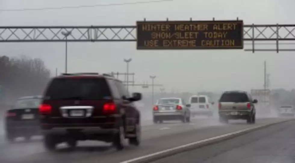
Winter Storm Hits East Coast on 1st Day of Spring
PHILADELPHIA (AP) — Just when flowering bulbs were poking out their heads and snow shovels were getting a well-deserved rest, winter weather has come back. And on the first day of spring no less.
Forecasters say a storm will dump up to 6 inches of snow on the Northeast and mid-Atlantic on Friday. New England will be on the lower end of the snow totals but even Boston, which has seen a record 108.6 inches of snow, could get an inch or 2 more.
A few locations, particularly in the higher elevations, could see much more of the white stuff, said meteorologist Bruce Terry of the National Weather Service. South central Pennsylvania will be in the bulls-eye of the storm and receive up to 10 inches of snow, he said on Thursday. Western Maryland could get slammed with up to 8 inches.
Terry said that of all the cities, New York will get hit the hardest. The Big Apple is expected to get 4 to 6 inches of wet snow.
Some areas also will see rain.
Temperatures will be in the low- to mid-30s on Friday. "It's just cold enough to snow," Terry said.
By Saturday, it will be in the 40s in the Northeast and in the 50s in the mid-Atlantic, he said.
Meteorologist Ryan Maue, of Weather Bell Analytics, warned that spring might take a while to fully win out. Temperatures will remain unseasonable cool into next week and another system with snow potential is headed for the Midwest, he said.
More From KROC-AM

![[WATCH] The Amazing Way Minnesota’s MSP Airport Removes Snow From Runways](http://townsquare.media/site/719/files/2022/02/attachment-MSP-Snow-Video-Conga-Line2.jpg?w=980&q=75)