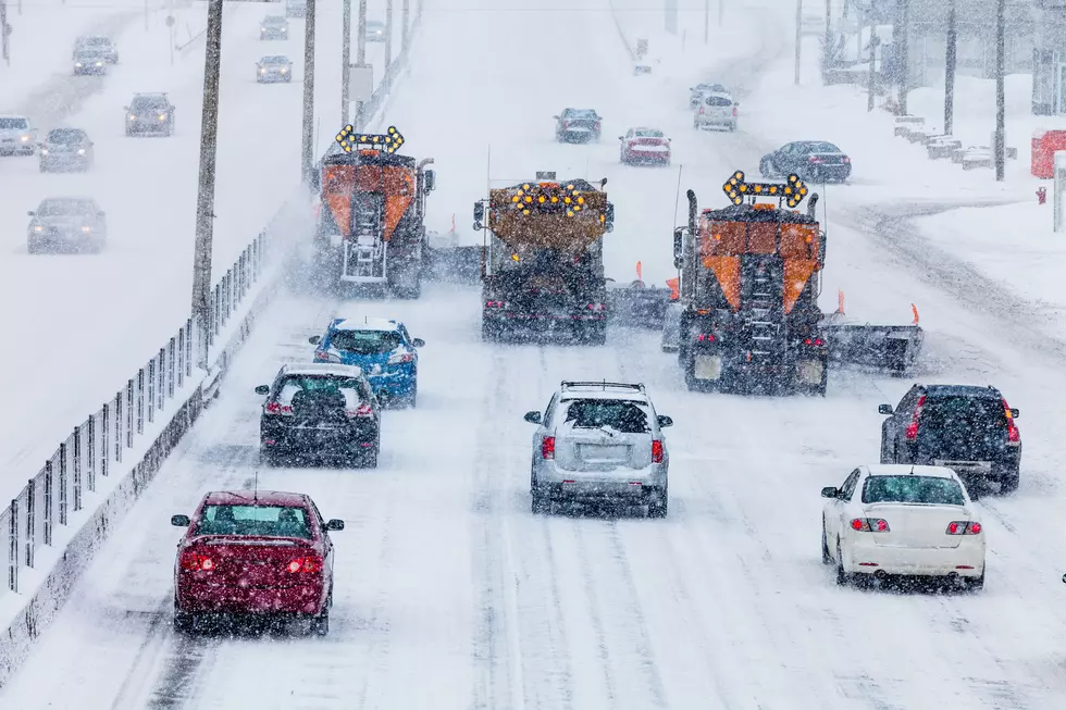
Be Aware Of Slick Roads Tonight Turning To Snow Late Monday
Our first shovel-able snow event of the season may be on the way.
Winter driving SUV
According to the National Weather Service, we can expect a wintry mix starting late tonight, mainly south of I-90. This could result in slippery driving conditions later tonight and Monday morning.
It’ll be mainly rain Monday before changing to snow Monday night and Tuesday.
The highest snow totals should fall west and north of a line from Oelwein, Iowa to Winona, Minnesota and Neillsville, Wisconsin line. 2 to 6 inches of snow may fall by Tuesday night that is, unless warmer air moves into the region. Then the snow totals will be much less.
More From KROC-AM
![[WATCH] The Amazing Way Minnesota’s MSP Airport Removes Snow From Runways](http://townsquare.media/site/719/files/2022/02/attachment-MSP-Snow-Video-Conga-Line2.jpg?w=980&q=75)